


A free, valuable resource for early Ulster County, New York area records
Did you have ancestors from Ulster County, New York - or from present-day Sullivan, Delaware, Greene or Orange Counties? These places were once included within Ulster County’s much larger historical boundaries. If so, this resource could contain valuable information about your family!
A Brief History of Ulster County, New York
Ulster County’s history begins long before the county - or New York itself - existed. The region was home to the Esopus people, a Munsee-speaking branch of the Lenape. Their communities occupied the valleys of the Hudson, Esopus, Rondout and Wallkill waterways, where they farmed, hunted, fished and maintained extensive trading and travel routes. Names such as Esopus, Shawangunk, Wawarsing, Mamakating and Kaatsbaan preserve traces of this Indigenous landscape, although their original spellings and meanings were frequently altered by Dutch and English recordkeepers. The Village of New Paltz formally recognizes the area as the traditional homeland of the Munsee, Esopus and Lenape peoples.
The first European settlers
Henry Hudson explored the river for the Dutch in 1609, but the first Dutch presence consisted primarily of traders rather than permanent farming communities. The Dutch West India Company established New Netherland to control commerce -especially the fur trade - and later encouraged families to create farms and permanent settlements.
The earliest well-documented European land transaction in the Esopus region occurred on June 5, 1652, when land was conveyed to Thomas Chambers. Chambers was an English carpenter who had previously lived in New Amsterdam and near Rensselaerswyck, in the vicinity of present-day Troy. He apparently began occupying and cultivating his Esopus property by about 1654.
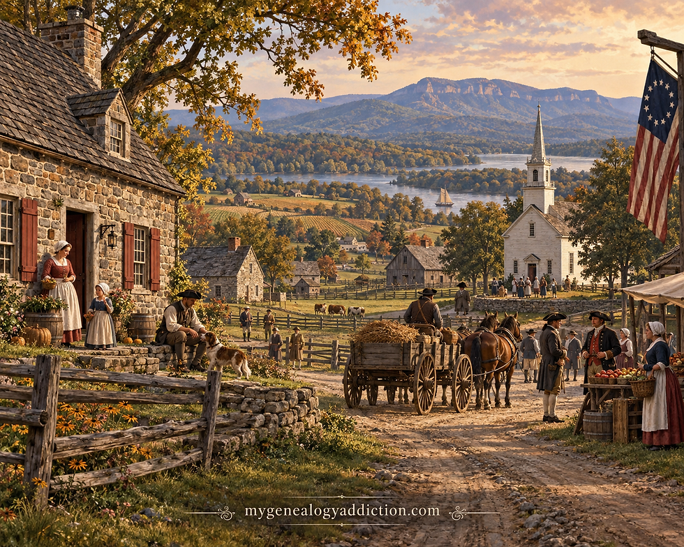
Other early recorded landholders and residents included Johannis Dykman, Christopher Davis, Johan de Hulter and his widow Johanna, Jurian van Westphalen, Mattys Hendricks, Cornelis Barentsen Slecht, Jacob Jansen Stoll, and the unnamed wife of Cornelis Slecht, who was licensed as a midwife. Although they lived under Dutch government, the settlers were not all ethnically Dutch. New Netherland attracted people from the Netherlands, England, Germany, Scandinavia, the French-speaking Low Countries and elsewhere. Olde Ulster discusses these settlers and their land transactions in “The Indian Deed to Thomas Chambers (1652)” and “The Founding of Kingston”.
They came principally because the Esopus lowlands were exceptionally fertile. The region offered productive soil, timber, streams capable of powering mills, access to the Hudson River and a transportation route to markets at Fort Orange, New Amsterdam and the Caribbean. Grain, livestock, lumber, barrel staves and other products could be shipped down the Hudson. Land ownership also offered opportunities that many immigrants could not obtain in Europe. “Settling the Esopus,” Olde Ulster, 1907.
From scattered farms to Wiltwyck and Hurley
The first European farms were dispersed across lands already occupied and cultivated by the Esopus people. Livestock damaged Indigenous corn and bean fields, colonists continued acquiring land, and disagreements arose over trade, alcohol, property and political authority. These tensions cannot be understood simply as attacks on an empty frontier: they were conflicts created by colonial expansion into an inhabited homeland.
In 1658, Director-General Peter Stuyvesant ordered the scattered settlers to gather within a fortified village. A stockade was constructed on the elevated ground now forming Kingston’s Stockade District. The settlement received the name Wiltwyck and a municipal charter in 1661.
A second settlement, Nieuw Dorp, meaning “New Village,” was established on the fertile flats southwest of Wiltwyck. It later became Hurley. The two communities were attacked during the Esopus Wars of 1659–1660 and 1663. During the 1663 attack, buildings were burned and numerous settlers - particularly women and children- were killed or taken captive. Dutch military expeditions followed, resulting in additional land seizures and the displacement of the Esopus people.
England took New Netherland in 1664. Wiltwyck eventually became Kingston, although Dutch language, churches, customs and naming patterns remained dominant for generations.
The Huguenots and New Paltz
Another important group consisted of French-speaking Huguenots, or Calvinist Protestants. Many had fled religious persecution in France and the southern Netherlands, living temporarily in the Dutch Republic or the German Palatinate before coming to New Netherland.
In 1677, twelve Huguenot men representing approximately sixty refugees obtained land along the Wallkill River. The twelve patentees were members of the Bevier, Crispell, Deyo, DuBois, Freer, Hasbrouck and LeFevre families. Their community became New Paltz, named for the Palatinate—die Pfalz—where some of them had found refuge.

The attraction combined religious security, community independence and access to fertile farmland. The resulting New Paltz Patent encompassed nearly 40,000 acres. Its proprietors, collectively remembered as the “Duzine,” continued managing common lands and issuing deeds for generations. Historic Huguenot Street’s New Paltz records and “The New Paltz Patent,” Olde Ulster preserve this history.
The settlement’s history also includes the Esopus families who formerly occupied the land and the enslaved Africans who labored in Huguenot households and farms. Historic Huguenot Street now emphasizes these interwoven Indigenous, European and African experiences.
Palatine German settlement
A later migration brought German-speaking Palatines to the Hudson Valley. War, crop failures, poverty and political and religious instability drove thousands from the Rhineland in 1708–1709. About 3,000 sailed from England to New York in 1710 under Queen Anne’s government.
Several hundred families were placed in camps on both sides of the Hudson. West Camp, now in the Town of Saugerties, became the principal Palatine settlement on the Ulster side. The immigrants were expected to manufacture tar, pitch and other naval stores for the British fleet in repayment for their passage. The project failed, leaving many families impoverished. Some remained around Saugerties and Katsbaan, while others moved to Schoharie, the Mohawk Valley, Newburgh and Pennsylvania. Town of Saugerties history and the National Park Service’s Palatine history provide useful background.
The Kocherthal Records reproduced throughout Olde Ulster are especially valuable because they document baptisms, marriages and families associated with this migration.
Settlement beyond Kingston
As the Kingston and Hurley lowlands filled, families followed the river and creek valleys into surrounding areas:
Historical locality | Present-day association | Historical importance |
Esopus or Atharhacton | Kingston and the Esopus Creek lowlands | Location of the earliest documented European farms |
Wiltwyck | Kingston Stockade District | Fortified Dutch village and administrative center |
Nieuw Dorp | Hurley | Second Dutch settlement, established in the early 1660s |
Mormel | Marbletown | Early settlement farther up the Esopus–Rondout interior |
Rochester Patent | Town of Rochester, Accord and nearby communities | Large 1703 patent along the Rondout Valley |
New Paltz Patent | New Paltz, Gardiner, Lloyd and surrounding territory | Huguenot settlement and proprietary land system |
Katsbaan | Northeastern Saugerties | Dutch and Palatine church community |
West Camp | Saugerties | Palatine refugee settlement established in 1710 |
Wawarsing and Shawangunk | Southwestern Ulster County | Frontier farms, churches, forts and Revolutionary activity |
Mamakating, Neversink and Minisink | Principally modern Sullivan and Orange Counties | Former Ulster frontier communities |
Newburgh Precinct | Modern Orange County | Once administered as part of Ulster County |
Catskill and surrounding settlements | Modern Greene County | Historically connected to Ulster through shifting boundaries |
Hardenbergh Patent | Western Ulster and large parts of the Catskill–Delaware region | Enormous 1708 land grant affecting settlement and land titles |
The Rochester Patent account in Olde Ulster explains how settlement spread from the Esopus lowlands through Hurley and Marbletown and then along the Rondout Valley.
A much larger Ulster County

Ulster County was formally created on November 1, 1683, as one of New York’s original twelve counties. It was named for the Irish province and earldom associated with James, Duke of York, later King James II.
The original county stretched generally from the Hudson River westward to the Delaware River. It was far larger than present-day Ulster County and included territory now found in:
Sullivan County
Delaware County
Greene County
Orange County
Major reductions included the creation of Delaware County in 1797, the transfer of southern towns to Orange County in 1798, the creation of Greene County in 1800, and the creation of Sullivan County in 1809. New York Genealogical and Biographical Society’s Ulster County guide and the 1860 historical boundary description summarize these changes.
This explains why Olde Ulster contains articles and records concerning Newburgh, Minisink, Neversink, Mamakating, Catskill, the Delaware Valley, the Palatine settlements and other places outside the modern county. A person described as living in “Ulster County” in an early record may never have lived within today’s boundaries.
Revolution and later development
Ulster became a Patriot stronghold during the American Revolution. Kingston was selected as the meeting place for New York’s constitutional convention, and the state constitution was adopted there in April 1777. The first State Senate met in Abraham Van Gaasbeek’s house.
On October 16, 1777, British forces burned Kingston, destroying hundreds of houses, barns and mills. Surviving inhabitants scattered temporarily to Hurley, Marbletown and neighboring communities. This episode explains the presence of Revolutionary correspondence, militia lists, damage claims, refugee accounts and government records throughout Olde Ulster. (See Senate House State Historic Site)
During the nineteenth century, agriculture remained important, while industries developed around lumber, tanning, bluestone, cement, canals, shipping and manufacturing. The Delaware and Hudson Canal transformed Rondout into a major transportation center, while Catskill hotels and mountain resorts brought tourism into the western portion of the county.

Why the Olde Ulster records are so valuable
Published in ten volumes from 1905 through 1914, Olde Ulster preserves an unusually broad collection of local history and genealogical material. Its value lies not merely in its narrative articles but in its reproduction or abstraction of records that can be difficult to locate elsewhere. (See Complete Olde Ulster volume guide)
Among its most useful collections are:
Kingston baptismal and marriage records
Katsbaan, Rochester and Marbletown church records
Kocherthal and Palatine church records
Wills, probate extracts and family Bible records
Gravestone and churchyard inscriptions
Land patents, deeds, surveys and boundary descriptions
Early censuses and lists of inhabitants
Newspaper marriage and death notices
Revolutionary correspondence, militia material and damage claims
Family lineages and genealogical queries
Manumissions, bills of sale and other evidence of slavery
Dutch names, patronymics and spelling variations
Indigenous place names, deeds and accounts of colonial conflict
These records are particularly useful because early Ulster families frequently crossed boundaries that did not yet exist. A baptism in Kingston might concern a family later found in New Paltz, Rochester, Newburgh, Catskill, Schoharie or Pennsylvania. Sponsors at Dutch Reformed baptisms can reveal grandparents, siblings and married daughters whose relationships are not stated anywhere else. Wills and land deeds can connect generations, while church and cemetery records may provide the only surviving evidence of a birth, marriage or death.
At the same time, Olde Ulster should be treated as a research guide rather than unquestioned proof. Its language and interpretations reflect the early twentieth century, especially in its treatment of Indigenous people and slavery. Some family lineages were compiled from traditions or incomplete evidence. Names, dates and relationships should therefore be checked against the linked scans and, whenever possible, the original church, court, land or probate records. The surviving Dutch colonial records are especially rich in property, commercial, family and court information. (See also New York State Archives’ Dutch Heritage guide)
Comments